Type de pratique
Marche
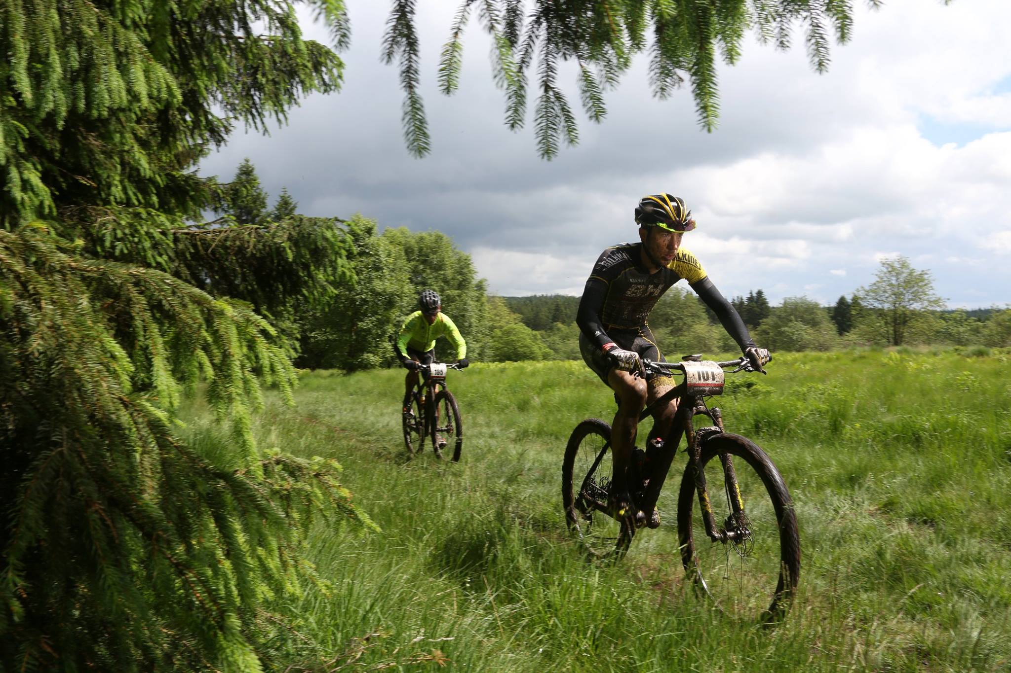
Trail
VTC
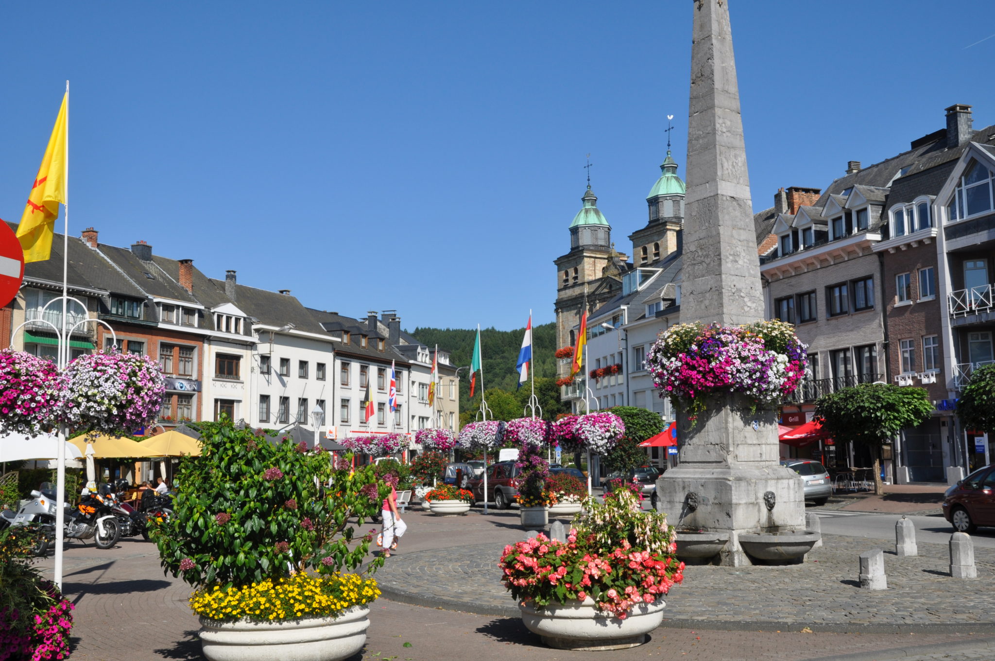
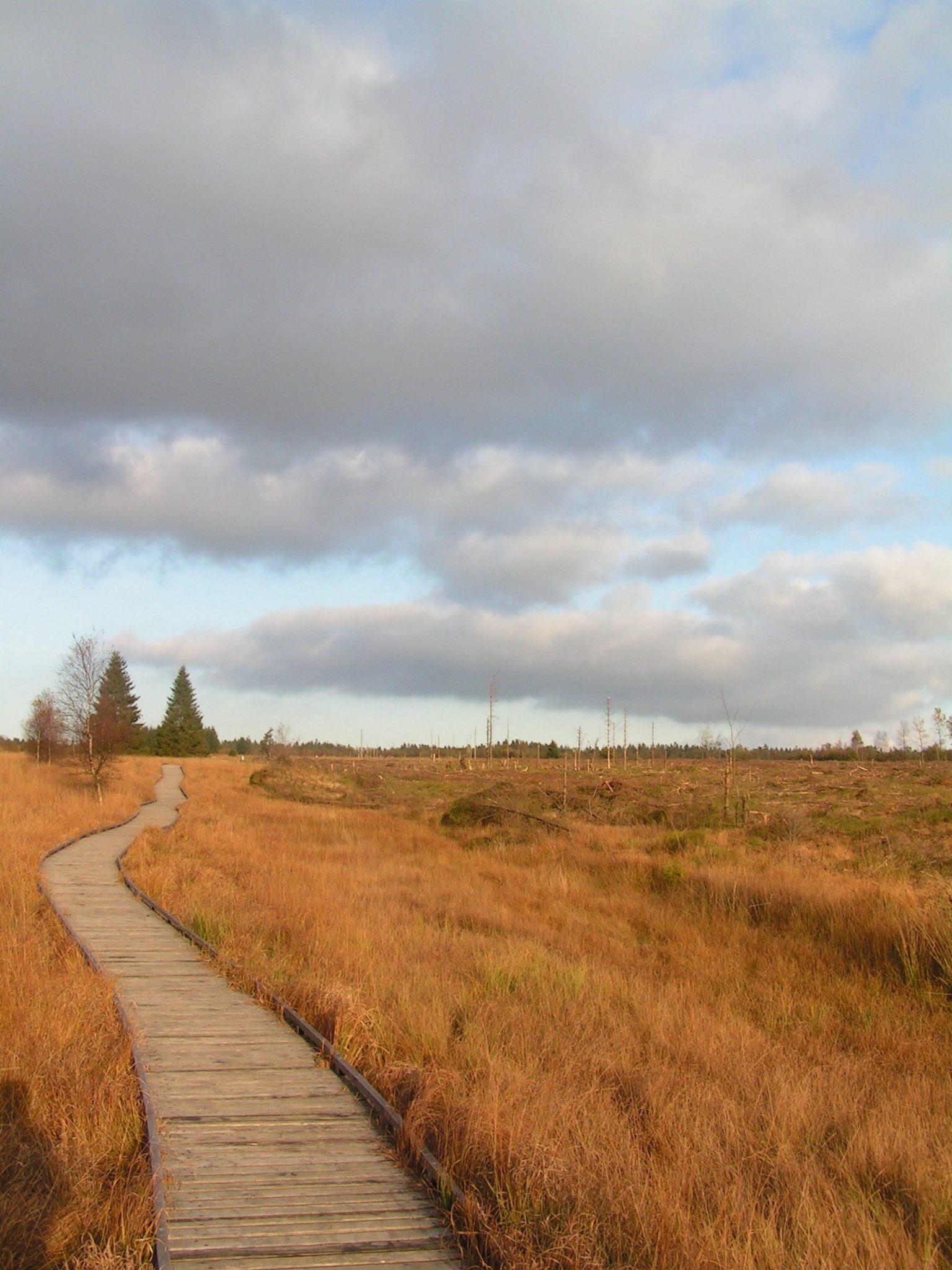
Malmedy 23 - La croix de Chôdes

Description
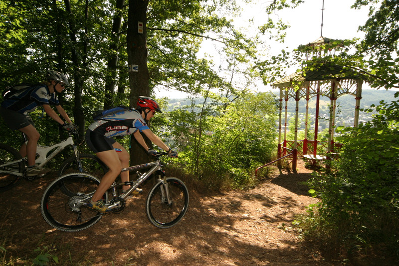
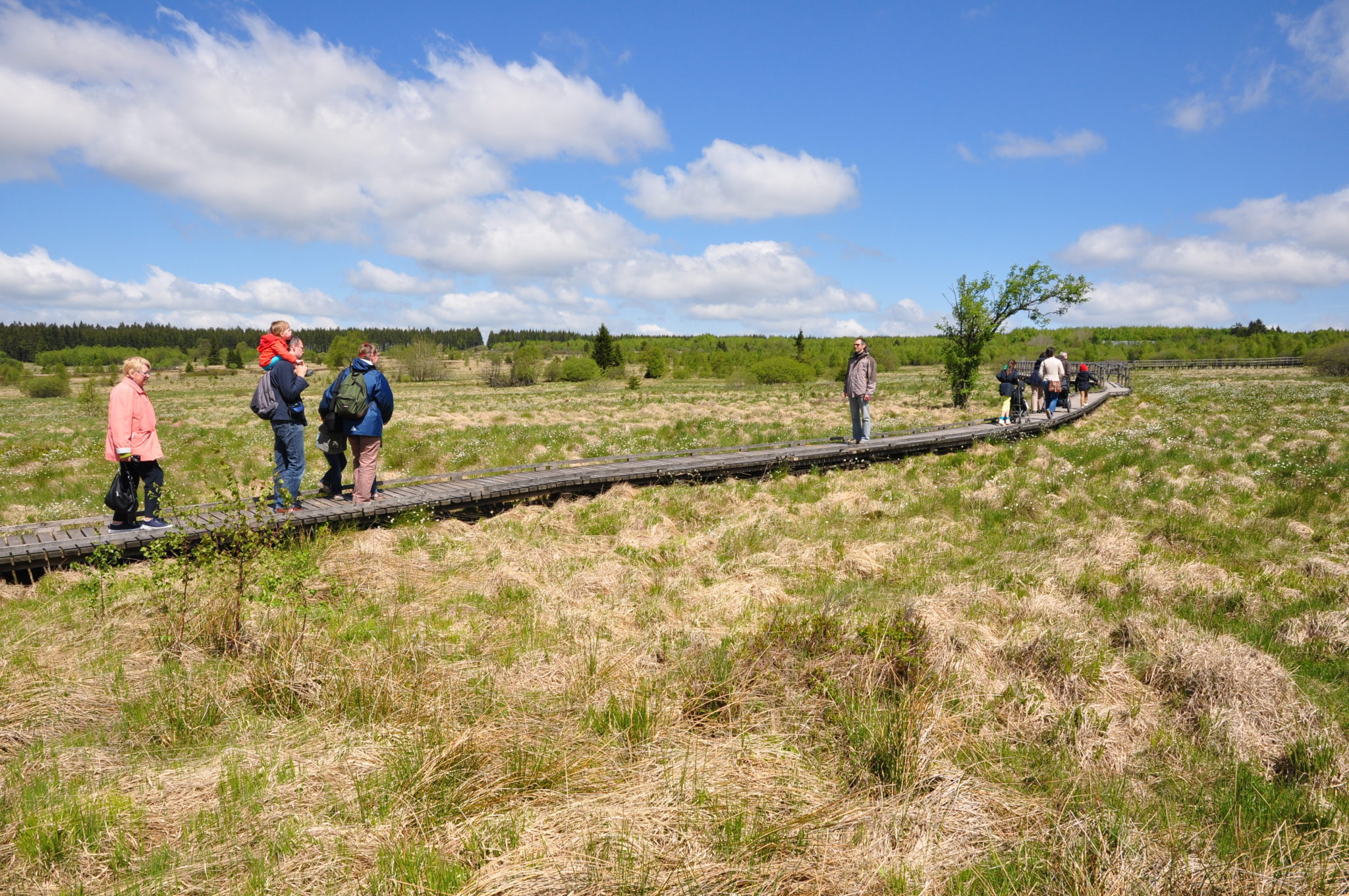
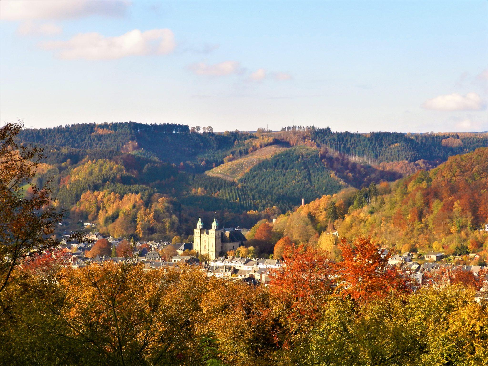
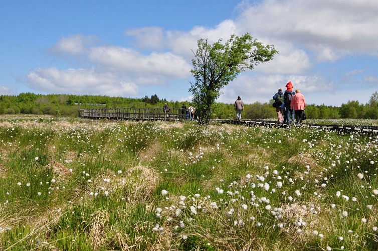
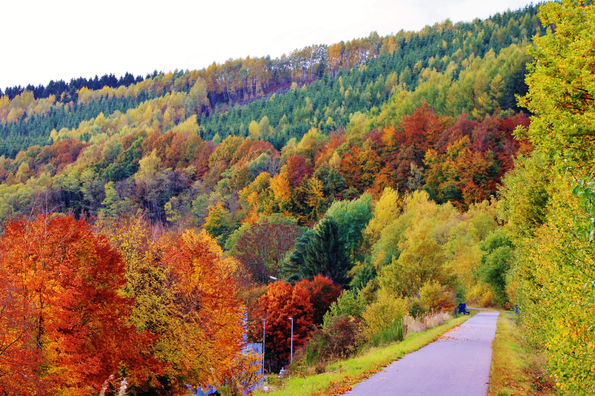
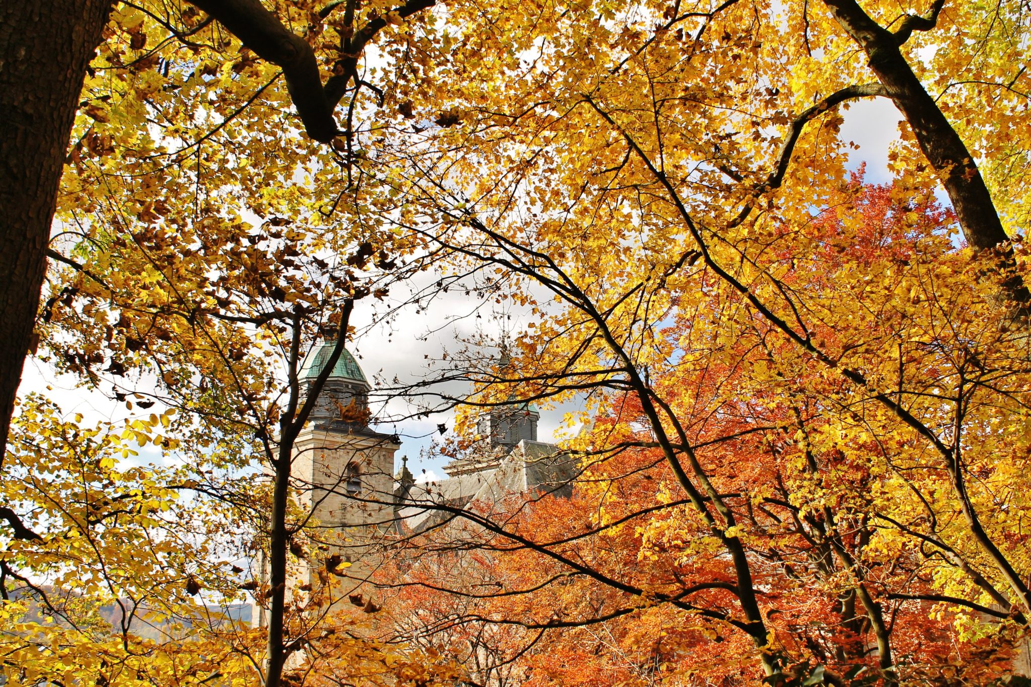
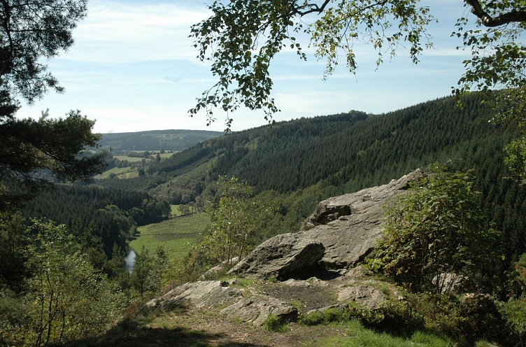
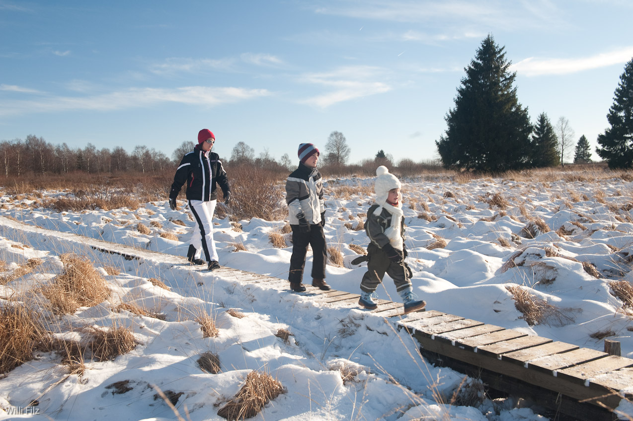
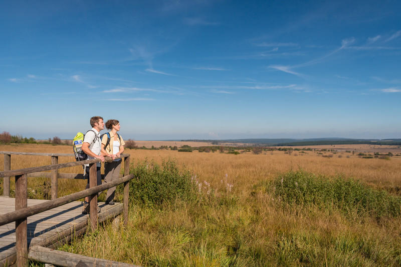
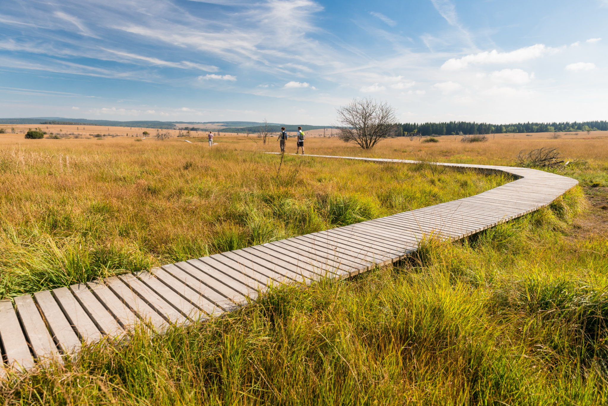
Promenade familiale depuis le village de Chôdes vers la colline de Livremont avec point de vue vers Malmedy et le sentier du poudingue de Malmedy
Exporter et partager
Informations techniques
Difficulté
Dist.
4.5 km
Type de pratique
Marche
Trail
VTC
Afficher plus d'informations
À proximité
Circuits à proximité
Points d'intérêts à proximité
Choix du fond de carte

Plan IGN

Open Street Map
Point de départ
Lat : 50.43348Lng : 6.05812
Coordonnées copiées
Points d'intérêt et informations parcours

Tournante Roche
Lieux d'intérêts
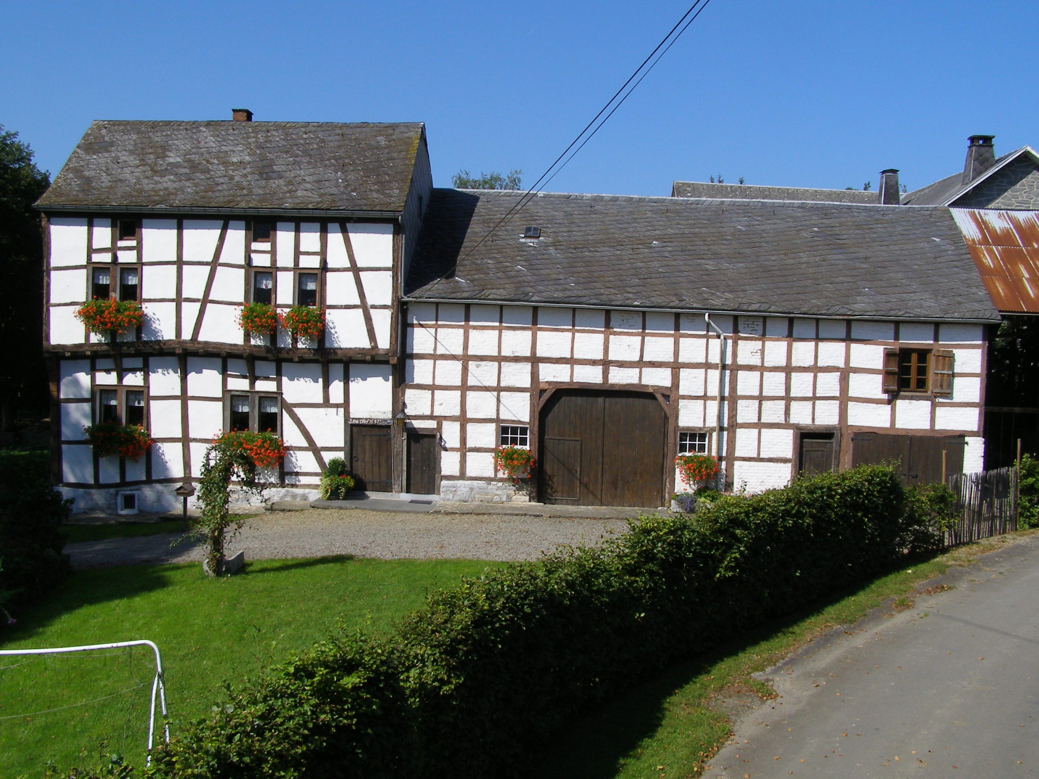
Chemin de Livremont 4960 Malmedy
Calvaire de Malmedy
Activités
45 Rue la Vaulx 4960 Malmedy
Informations sur l'auteur

Syndicat d'Initiative de Malmedy
Auteur
AlerteAlertes
Propulsé par Cirkwi - Lire les Conditions d'utilisation