Signposted walks
To really discover a city or a region, you have to do it on foot.
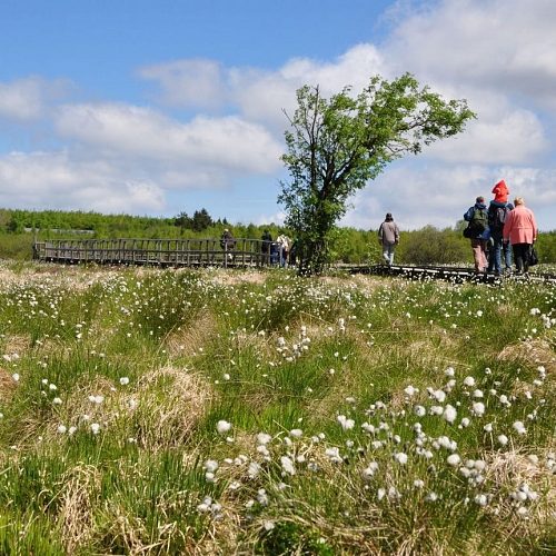
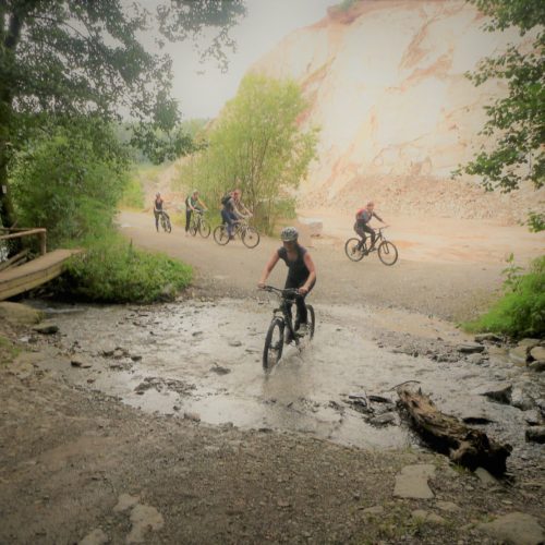
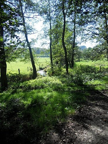
Whether you like short, easy, longer, hilly walks, in forests, in the Fagnes, with open landscapes …. Malmedy has something for you.
What does it mean when the red flag is raised in the High Fens? Check it out here + whether the red flag is raised.
Didactic path | Puddingstone rock |
|---|
Map with all the signposted walks |
|---|
MDY01 La Cascade du Bayehon |
|
|---|---|
| KM & Ascent | 11 km | 235 D+ |
| Start | Longfaye (école) - Moulin du Bayehon |
| Picto |  |
MDY02 La petite Fagne de Xhoffraix |
|
|---|---|
| KM & Ascent | 5,5 km - 100 D+ |
| Start | Xhoffraix (Warhay) |
| Picto |  |
Panorama way |
|
|---|---|
| KM & Ascent | 14 |
| Sign | green lozenge |
MDY03 La piste des Celtes |
|
|---|---|
| KM & Ascent | 7,4 km - 200 D+ |
| Start | Xhoffraix (Warhay) - Moulin du Bayehon |
| Picto |  |
MDY04 Xhoffraix en famille |
|
|---|---|
| KM & Ascent | 3,3 km - 40 D+ |
| Start | Xhoffraix (Warhay) |
| Picto |  |
MDY05 Le Tour du Ravel |
|
|---|---|
| KM & Ascent | 4 km - 65 D+ |
| Start | Malmedy (ancienne gare) - Val d'Arimont |
| Picto |  |
MDY06 La Croix des Fiancés |
|
|---|---|
| KM & Ascent | 5,9 km - 70 D+ |
| Start | Chapelle Fischbach |
| Picto |  |
MDY07 La Fagne de la Poleur |
|
|---|---|
| KM & Ascent | 3,4 km - 45 D+ |
| Start | Mont Rigi - Baraque Michel - Signal de Botrange |
| Picto |  |
MDY08 Au Pays du Négus |
|
|---|---|
| KM & Ascent | 15 km - 185 D+ |
| Start | Mont (ancienne douane) |
| Picto |  |
MDY09 Le Pouhon des Cuves |
|
|---|---|
| KM & Ascent | 9 km - 200 D+ |
| Start | Xhoffraix (Warhay) -Mont (école) - Mont (fontaine) |
| Picto |  |
MDY10 Le canyon du Trôs-Maret |
|
|---|---|
| KM & Ascent | 4,8 km - 100 D+ |
| Start | Bévercé: Camping du Moulin - Ferme Libert |
| Picto |  |
MDY11 L’Ermitage |
|
|---|---|
| KM & Ascent | 5,6 km - 180 D+ |
| Start | Malmedy (Cathédrale) - Ferme Libert |
| Picto |  |
MDY12 Le Calvaire |
|
|---|---|
| KM & Ascent | 4,6 km - 180 D+ |
| Start | Malmedy (Cathédrale) |
| Picto |  |
MDY13 Les Pierres d’arkose |
|
|---|---|
| KM & Ascent | 8 km - 190 D+ |
| Start | Chôdes (église) - Val d'Arimont |
| Picto |  |
MDY14 Au creux de la Warchenne |
|
|---|---|
| KM & Ascent | 6,7 km - 180 D+ |
| Start | Malmedy (ancienne gare) - Val d'Arimont - Arimont (La Boulinière) |
| Picto |  |
MDY15 Panorama des deux vallées |
|
|---|---|
| KM & Ascent | 10,5 km - 200 D+ |
| Start | Malmedy (ancienne gare) - Falize (Ferme des bruyères) |
| Picto |  |
MDY16 Les deux Rochers |
|
|---|---|
| KM & Ascent | 9,2 Km - 125 D+ |
| Start | Bellevaux (église) - Falize (Ferme des bruyères) |
| Picto |  |
MDY17 Le Beau Val |
|
|---|---|
| KM & Ascent | 4 Km - 70 D+ |
| Start | Bellevaux (église) |
| Picto |  |
MDY18 Le Chemin St Hubert |
|
|---|---|
| KM & Ascent | 7,4 Km - 190 D+ |
| Start | Ligneuville (salle du village) |
| Picto |  |
MDY19 La Route Napoléon |
|
|---|---|
| KM & Ascent | 7,9 km - 200 D+ |
| Start | Ligneuville (salle du village) |
| Picto |  |
MDY20 Le Barrage des castors |
|
|---|---|
| KM & Ascent | 7,3 km - 100 D+ |
| Start | Ligneuville (salle du village) |
| Picto |  |
MDY 21 La promenade de la truite |
|
|---|---|
| KM & Ascent | 5,3 km - 100 D+ |
| Start | Ligneuville (salle du village) |
| Picto |  |
MDY22 Les crêtes de la Warche |
|
|---|---|
| KM & Ascent | 14 > 19 km - 500 D+ |
| Start | Xhoffraix (Warhay) - Barrage Robertville - Chôdes (église) - Bévercé (camping du moulin) |
| Picto |  |
MDY23 La Croix de Chôdes |
|
|---|---|
| KM & Ascent | 4,5 km - 80 D+ |
| Start | Chôdes (église) |
| Picto |  |
MDY24 Burnenville, un virage mythique |
|
|---|---|
| KM & Ascent | 5,5 km - 165 D+ |
| Start | Burnenville (chapelle) - Bernister |
| Picto |  |
MDY25 Autour d’un Mémorial |
|
|---|---|
| KM & Ascent | 10 km - 225 D+ |
| Start | Baugnez - Merkem (Faitafondue) |
| Picto |  |
MDY26 Les Hêtres entrelacés |
|
|---|---|
| KM & Ascent | 5,5 km - 200 D+ |
| Start | Malmedy (ancienne gare) - Géromont (église) |
| Picto |  |
Hunting zones Malmedy |
|---|
Hunting calendar |
|---|


